Justine Corrijn
Keywords: Contested territories, Archive, Mapping
We live in a world in which territories are redrawn continuously through processes of deterritorialisation and reterritorialisation. Through drawing and redrawing borders, nation-states maintain a hold on Earth’s geopolitical landscape.
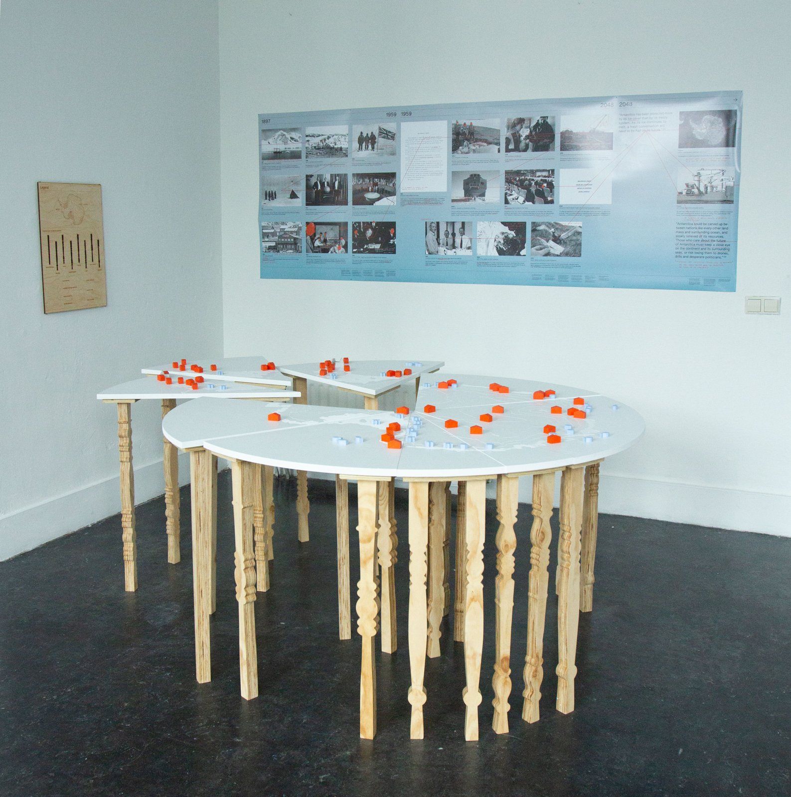
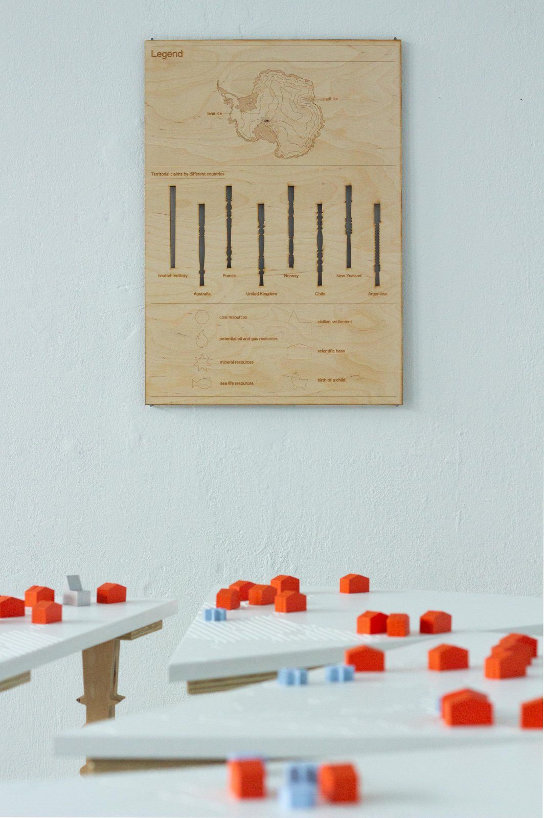
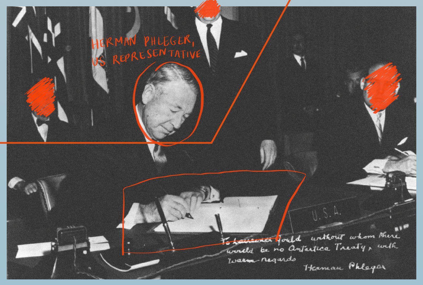
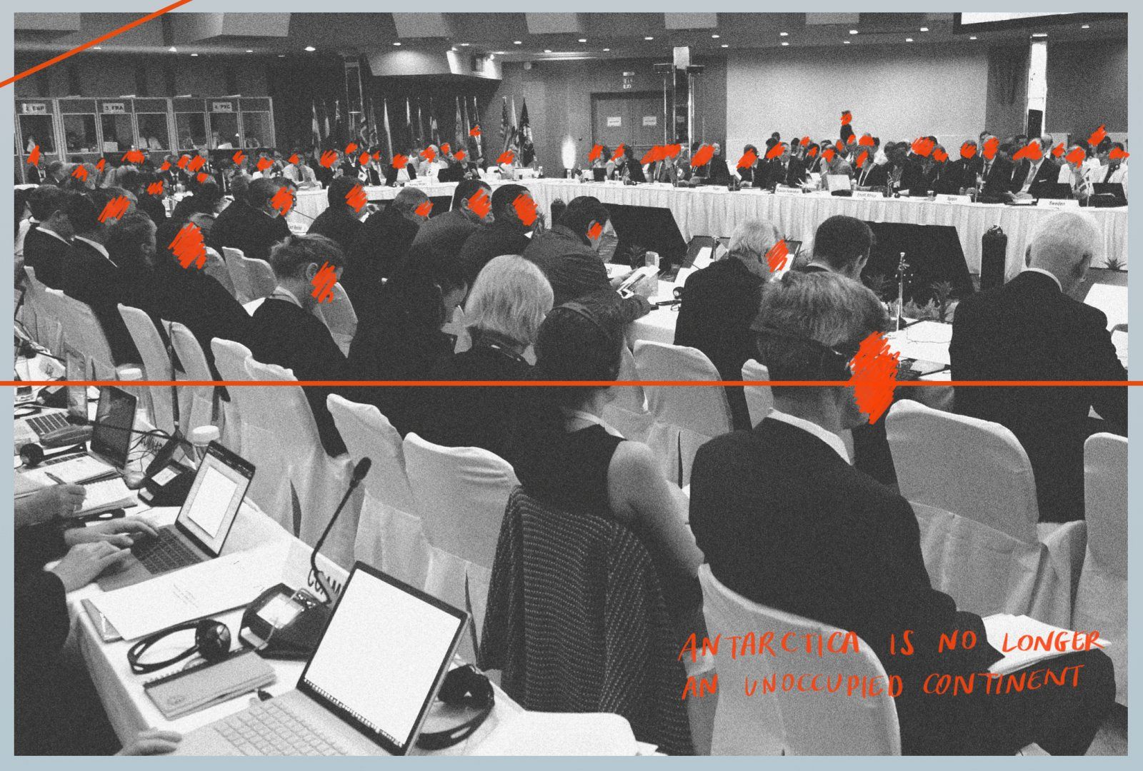
In A table for 7,800,000,000, please, Justine Corrijn addresses the colonial logic behind this territorial behaviour by examining the history behind the territorial claims on Antarctica. Thanks to the Antarctic Treaty, an agreement that entered into force in 1961, the continent has been declared a zone free of nuclear tests and disposal of radioactive waste to ensure that it is used for peaceful purposes only. However, as the treaty will become modifiable in 2048, the future of the continent is uncertain.
In her work, Corrijn argues that it is in the interest of all human and non-human kind that the future of Antarctica should be discussed openly. Through the use of archival materials, the work questions imperialistic ideas on territory and borders, and explores how to approach new territories without this colonial logic.


Micro-Analysis on Becoming a State: Evaluating ideas on territory through examples of small communities.
Thesis
This thesis explores the role of territories, small communities and micronations in a world filled with nation-states.
In Chapter 1, I explore the influence borders have on territories, as well as what the consequences are of being a visible community situated in a bigger nation-state. This is illustrated through the historical example of Neutral Moresnet, and through the examples of micronations such as Lundy Island, the Principality of Sealand and the Grand Duchy of Flandrensis.
In Chapter 2, I dive deeper into community-forming through the theories of Hakim Bey on Temporary Autonomous Zones, and Benedict Anderson on Imagined Communities. The main focus lays on the role of territory and borders in community-forming, following examples such as the French Zone à Défendre (or ZAD, meaning ‘Zone to Defend’). Furthermore, the influence of political-power and maps on territory and borders is being discussed through the notions of settler colonialism, reterritorialisation and deterritorialisation. Lastly, the role the internet plays in community-forming is being examined in the second chapter.
This is developed further in Chapter 3, through an analysis by Zeynep Tufekci and the example of the Grand Duchy of Flandrensis. I argue how the idea of the territory and community being connected together needs to be rethought. This is demonstrated by the impact of the internet and visual tools on community-forming. Finally I look at the use of political visualisations, such as stamps, as a way of enhancing community-forming.